Loading…
Find routes your wheelchair, walker or stroller can actually use.
For reduced mobility, post‑surgery recovery and families with strollers — in Madrid and Valencia.
- +12,000 km
- of classified sidewalks
- 2 cities
- live today
- 2 profiles
- accessible circulation
A city you can’t move through is a city you don’t fully live in.
Typical map and navigation apps optimise for the fastest path. They don’t measure whether a sidewalk is wide enough for a wheelchair or whether there’s a kerb step. Rampa does.
We combine OpenStreetMap and local data, sidewalk cadastre and urban infrastructure with AI models that estimate real width and slope per segment. The result is a street map, not a graph, powering our routing engine.
Rampa meets accessibility standards under Spanish CTE DB-SUA and TMA/851/2021, and the EU European Accessibility Act.
Attributes we measure per segment
- Sidewalk widthdown to cm
- Longitudinal slope% grade
- Kerb dropyes / no
How it works
We measure every sidewalk
We cross municipal open data with OpenStreetMap and AI models to recover real width, slope and kerb drops per segment.
We combine width, slope and kerbs
Our engine weighs width, slope and kerb drops to assign a real accessibility cost to each street, not a generic guess.
The accessible route, not only the shortest
You see both options — fastest vs most accessible. On the accessible path, each segment is labelled so you know exactly where you’re going.
Same start. Same destination. Different path.
Shortest route vs accessible route
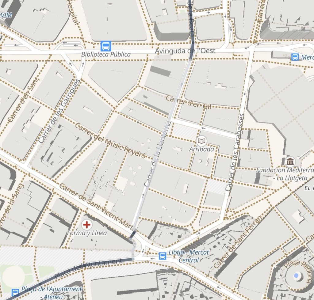
Shortest route
- Sidewalks under 90 cm on 3 segments
- Slope >8 % on one street
- No kerb ramp at the main crossing
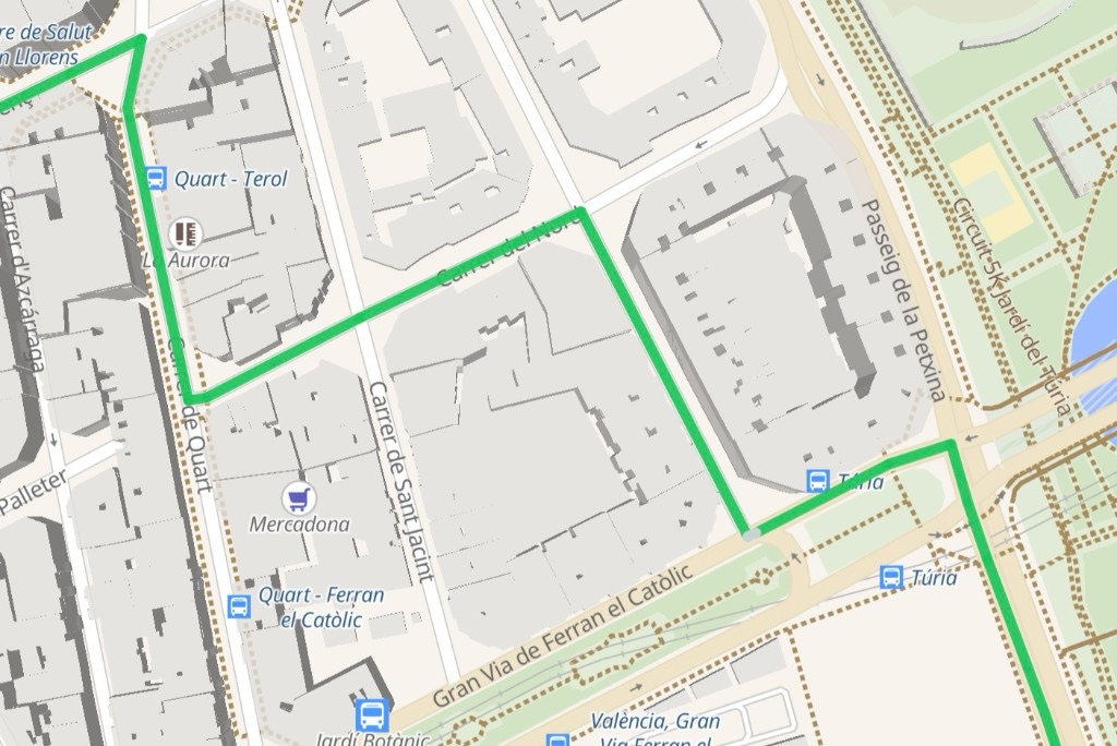
Rampa route
- Sidewalks ≥ 1.5 m on all segments
- Max grade 4 % — wheelchair‑friendly
- Kerb drops at every crossing
Example based on real OpenStreetMap and Madrid open data.
Coverage by city
Stay in the loop
City launches, open‑data milestones and product updates.